Catanduanes: Abaca, Big Waves, and the Land of the Howling Winds
culture06-05-2026

Catanduanes calls itself the Happy Island, but most Filipinos know it by an older nickname: the Land of the Howling Winds. It is the island that usually shows up first on the evening news when a typhoon comes in from the Pacific, and it is also the source of a large share of the world’s abaca fiber, home to one of the best surf breaks in Asia, and a place very few foreign visitors ever see.
This post is part of our “Off the Map Philippines Adventures” series on regions most tourists skip: their culture, food, crafts, and sites, plus the practical details for expats thinking of going.
Catanduanes at a Glance
- Location: An island province off the eastern coast of the Bicol Peninsula, facing the open Pacific
- Capital: Virac, also the largest town
- Municipalities: Eleven (Bagamanoc, Baras, Bato, Caramoran, Gigmoto, Pandan, Panganiban, San Andres, San Miguel, Viga, and Virac)
- Area: About 1,492 square kilometers
- Population: 261,169 at the 2024 census, down from 271,879 in 2020
- Region: Bicol (Region V)
Juan de Salcedo reached the island in 1573, and for most of the colonial period it was governed as part of Albay. Catanduanes became a separate province in 1945; the law took effect on October 26 of that year, and the anniversary is the centerpiece of the province’s biggest festival.
Why “Happy Island”?
Nobody seems entirely sure. Some accounts say the nickname began as a T-shirt slogan that caught on; the Tourism Promotions Board says it was picked up from the remarks of visitors. Either way, the province has embraced it, partly as a cheerful counterweight to “Land of the Howling Winds.”
The Language
Catanduanes is Bikol-speaking, but not uniformly. Linguists recognize several varieties on the island:
- Southern Catanduanes Bikol – spoken around Virac and the southern towns
- Northern Catanduanes Bikol – also called Pandan Bikol, spoken in the northern towns
- Central Bikol – the regional lingua franca of the Bicol mainland, widely understood
Tagalog and English are understood, especially in Virac. In the northern and interior barangays, expect Bikol first. A few words of Bikol, such as “Dios mabalos” (thank you, used across the Bicol region), go a long way. See our post on Filipino Languages for why the Philippines has so many.
Abaca: The Island’s Fiber
If one thing defines Catanduanes economically, it is abaca—the fiber from a banana relative (Musa textilis), also known internationally as Manila hemp. It is used in ropes, specialty papers (including tea bags and currency paper), textiles, and handicrafts.
Republic Act 11700 formally named Catanduanes the “Abaca Capital of the Philippines,” and it has consistently been the country’s top-producing province. How large its share is depends on the year and the source:
- About 40% of national fiber production in 2015, according to figures cited on Wikipedia
- 28% in 2022, according to the Department of Agriculture’s Bicol office
- About 20% in 2025, according to PhilFIDA (the Philippine Fiber Industry Development Authority) figures reported in May 2026
Part of that decline is about typhoons. Abaca plants are tall and easily flattened by wind, and each major storm wipes out a season’s harvest for thousands of farming families. PhilFIDA estimated abaca losses in Catanduanes from Typhoon Uwan (Fung-wong) in November 2025 at more than ₱1.2 billion.
Weaving and Crafts
Most abaca leaves the island as raw fiber, but there is a growing effort to keep more of the value at home. In March 2025, the Philippine Textile Research Institute (DOST-PTRI) ran a handloom weaving training in Panganiban aimed at establishing an abaca weaving center in the town. Abaca bags, mats, and woven goods are the obvious souvenir, and buying from local producers puts money directly into farming communities.
Festivals
Catandungan Festival (October)
The province’s foundation festival is held around its founding anniversary in late October, with the main events in Virac. Sources give slightly different dates—some say October 24–26, some say the weekend nearest October 24, others peg it to October 26—so check the current year’s program.
Typical activities include:
- A thanksgiving Mass at the Virac Cathedral
- A grand parade and agro-industrial trade fair
- Pageants
- A Pantomina street-dance competition
- A surfing competition at Puraran
The Pantomina is a Bicolano courtship dance. On the mainland it is usually described as imitating the courtship of doves; Catanduanes contingents have been praised for versions built around a rooster courting a hen.
Abaca Festival (May)
Held in late May (Wikipedia says the fourth week), the Abaca Festival celebrates the industry that keeps the island running, with a street-dance competition, a float parade, a trade fair, and a fashion show of abaca designs.
Town Fiestas
Each of the eleven towns has its own patron saint and fiesta, along with barangay fiestas throughout the year. See our post on the Filipino Fiesta for what to expect when you are invited.
As always, festival dates shift with weather, budgets, and storm recovery. Confirm with the Catanduanes provincial tourism office or the municipal government before you plan around one.
Food
Catanduanes food is Bicolano at heart—coconut milk, chili, and seafood—with a few local specialties:
- Latik – In Catanduanes, this refers to rice cakes topped with caramelized coconut milk. It is a common breakfast and merienda (afternoon snack), and the go-to pasalubong (take-home gift) from Virac.
- Pinangat – A Bicol dish of taro leaves wrapped around fish or meat and cooked in coconut milk.
- Seafood – Lobster is more abundant and cheaper here than in most of the country, along with tangigue (Spanish mackerel), lapu-lapu (grouper), and octopus.
- Sinalpungan – A snack made from cow or carabao intestines, for the adventurous.
- Caracol – Forest snails, sometimes served on a sizzling plate.
These descriptions come mostly from food writers and travel guides, and recipes vary from town to town. Ask what is local where you are.
Sites Worth Seeing
- Puraran (Baras) – Home of the surf break known as “Majestic,” a fast right-hand reef wave that draws surfers from abroad during the season, roughly July to October. Outside surf season, the reef and beach are quiet.
- Binurong Point (Baras) – A grassy headland above the Pacific, reached by a short hike, and one of the most photographed views on the island.
- Bato Church (Bato) – The Church of St. John the Baptist, the oldest church in Catanduanes. Sources differ on the date: a wooden church was built by Franciscans around 1830, and the present coral-stone church is usually dated to 1883. It was restored by the National Historical Commission, then heavily damaged by Super Typhoon Rolly in 2020.
- Maribina Falls (Bato) – A tiered waterfall close to the main road, popular with locals on weekends.
- Twin Rock Beach (Igang, Virac) – A white-sand cove resort on the southwest coast, named for a pair of rock formations offshore.
- Luyang Cave (San Andres) – A cave park in Barangay Lictin. Local tradition holds that villagers hiding there from Moro raiders were killed inside; accounts place it in the 17th or early 18th century, and a Mass is held there each year in their memory.
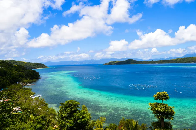
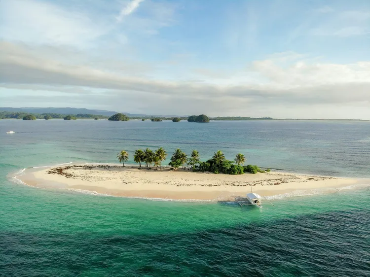
- The coastline – Much of Catanduanes’ appeal is simply the coast: rocky headlands, empty beaches, and very few other foreigners.
Living With Typhoons
You cannot write about Catanduanes without writing about typhoons. The island faces the Pacific with nothing in between, and it is often the first landfall for storms heading toward Luzon.
Recent examples:
- Super Typhoon Rolly (Goni), November 1, 2020 – Made landfall at Bato at peak strength, widely reported as the strongest tropical cyclone in the world that year. Relief groups estimated that up to 90% of buildings on the island were destroyed.
- Super Typhoon Pepito (Man-yi), November 16, 2024 – Made landfall at Panganiban. There were no reported deaths in the province, but damage was extensive, power was down across the island, and reported losses approached ₱2 billion.
- Super Typhoon Uwan (Fung-wong), November 2025 – Made landfall in Aurora, but passed close enough to batter Catanduanes, with flash flooding, landslides, water-supply outages, and heavy abaca losses.
Catanduanons are, by necessity, very good at this. Houses are built and rebuilt with storms in mind, evacuation is taken seriously, and communities have long practice at recovery. For a foreigner, the lesson is to take the warnings just as seriously.
For Expats and Visitors
Getting There
- By air: Virac Airport has direct flights from Manila on Cebu Pacific, usually about once a day, with a flight time of roughly 70 minutes. Check the airline directly; aggregator schedules are inconsistent.
- By sea: Ferries run from Tabaco (Albay) to San Andres (about 3 hours) and to Virac (about 3.5 to 4 hours), depending on the operator and sea conditions. Tabaco is reachable by bus or van from the Legazpi area, which is served by Bicol International Airport. Schedules and fares change, and crossings are cancelled in rough weather.
- On the island: Vans, jeepneys, and tricycles connect the towns. Renting a motorbike or hiring a driver is the easiest way to reach the east coast.
Weather and Season
- Typhoon exposure: High. Major storms have hit in October and November in recent years, but the broader typhoon season runs roughly from June to December.
- Rain: Catanduanes is wet year-round on its Pacific side. Expect showers in any month.
- Best time for a general visit: The drier months, roughly March to May, have the calmest seas and the most reliable ferry crossings.
- Surf season: Roughly July to October, which overlaps with typhoon season. Surfers plan around this; everyone else should too.
Costs and Money
- Day-to-day costs are low by Philippine standards, especially for food, local transport, and seafood.
- Accommodation is mostly simple: inns, small resorts, and homestays, with more options in Virac.
- ATMs are concentrated in Virac. Carry cash when you head to the outer towns.
Power and Connectivity
Catanduanes is not connected to the Luzon grid, and power depends heavily on hydroelectric plants, which struggle in the dry season. In mid-2026, an unusually dry period brought weeks of rotating outages of up to 12 hours a day before the national government brought in rented diesel generators and an emergency supply agreement. A grid connection is part of the long-term plan, but for now, a home or business on the island needs a backup plan for power (see our post on the Philippine energy crisis).
Mobile data is generally available in Virac and the town centers but weaker in the interior and on parts of the east coast, and it is often the first thing to go after a storm.
Healthcare
The main government hospital is the Eastern Bicol Medical Center in Virac, which has a dialysis center and a Malasakit Center (a one-stop office for government medical assistance). There are smaller district hospitals and private clinics. For specialist care, patients typically go to the mainland—Legazpi or Naga—which means a ferry or a flight, both weather-dependent. Bring your medications and make sure your insurance covers transfers. (See our post on the state of Philippine healthcare.)
Safety and Respectful Etiquette
- Follow typhoon warnings. If PAGASA raises a signal over Catanduanes, do not take a ferry, do not go to the beach, and follow local evacuation orders.
- Respect the surf. Majestic breaks over a shallow reef. If you are not an experienced reef surfer, watch from the beach.
- Greet people, and accept hospitality graciously. Catanduanons are known for their warmth toward visitors, partly because so few come.
- Buy local. Abaca crafts, latik, and seafood bought directly from producers help an economy that typhoons hit hard.
- Be patient after storms. Recovery can take weeks. Power, water, and ferries come back on their own schedule.
Summary
Catanduanes is:
- An island province on the Pacific edge of Bicol, with its own varieties of Bikol
- The Abaca Capital of the Philippines, with an economy tied to a fiber that typhoons can wipe out in a night
- Home to the Majestic surf break, the coral-stone Bato Church, and long stretches of empty coastline
- Resilient, welcoming, and still rarely visited by foreigners
The island’s two nicknames tell the story. The Land of the Howling Winds describes what it has to survive. The Happy Island describes how it chooses to live anyway.
Thinking of Moving to the Philippines? Get Reliable Guidance
Online communities are helpful for general questions. For anything important, you still need accurate, professional, and updated information. E636 Expat Services helps foreigners with:
- Residency and long term visas
- Bank account opening
- Health insurance guidance
- Real estate assistance
- Business setup
- Retirement planning
- A smooth and secure transition into life in the Philippines
If you want to move with confidence instead of relying on random comments online, we can guide you every step of the way.
Book a consultation with E636 and start your journey the right way.
Image credits (via Unsplash, free under the Unsplash License):
- Top image (Baras coastline): “rock formation near sea” by Kristine Wook
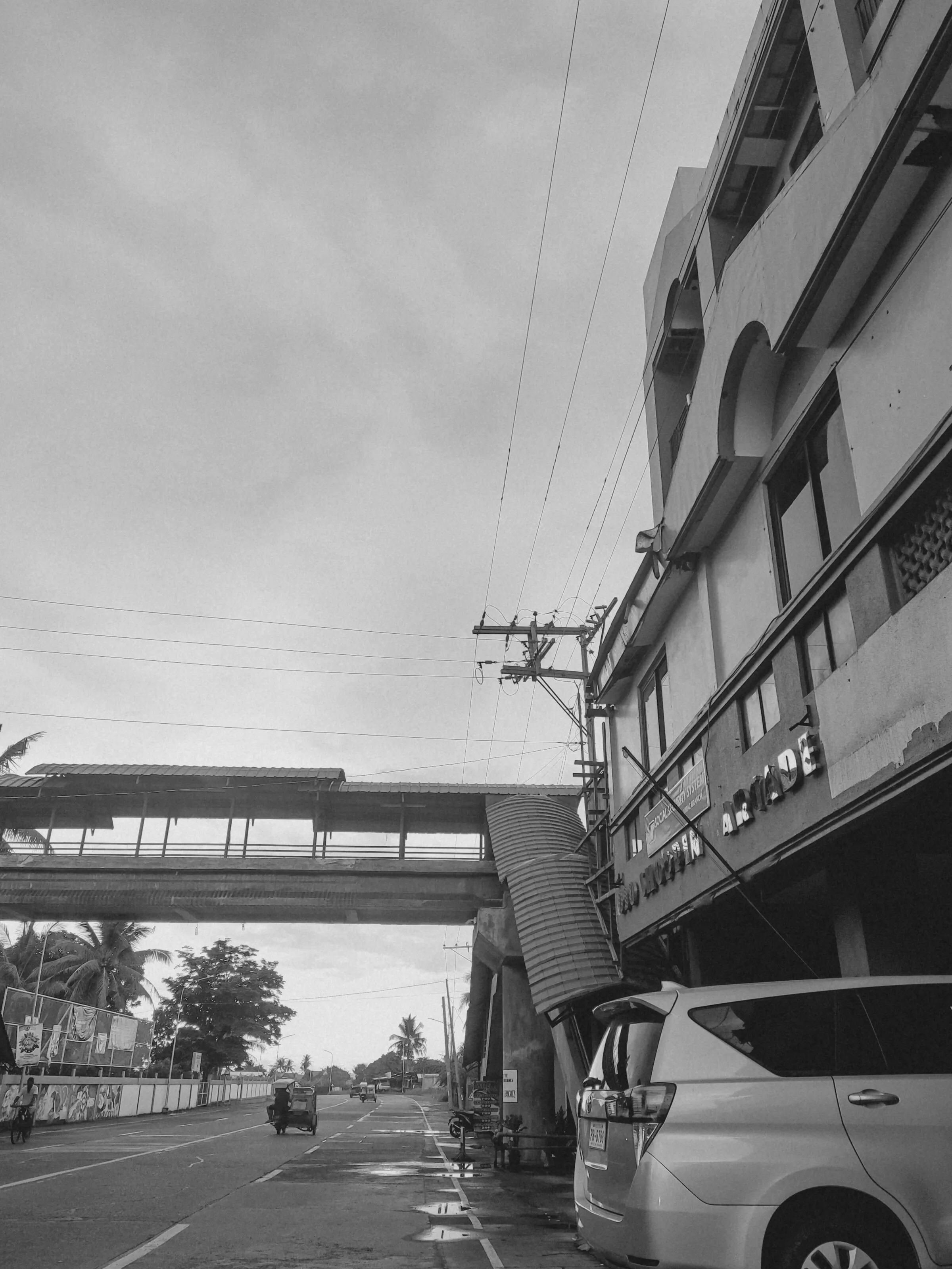
- Virac street photo: “a black and white photo of a city street” by Kent Emman