Dinagat Islands: Lagoons, Nickel, and a Province That Rebuilt Itself
culture01-07-2026
Dinagat Islands is one of the youngest provinces in the Philippines, and one of the least understood. It sits at the northeastern tip of Mindanao, between Surigao City and the southern end of Leyte, at the entrance to Leyte Gulf. Most people who have heard of it know it from news headlines—a typhoon, a court case, a mining dispute—rather than from travel brochures.
This post is part of our “Off the Map Philippines Adventures” series, where we look at regions most tourists skip—their culture, festivals, food, and the sites worth the trip—and then get practical about what it takes to visit or live there.
Dinagat is not easy, and it is not polished. But it has lagoons, limestone islets, rare wildlife found nowhere else, a distinctive religious history, and a population that rebuilt almost an entire province from scratch after December 2021.
Dinagat at a Glance
- Province: Dinagat Islands, part of Region XIII (Caraga)
- Capital: San Jose
- Largest town: Basilisa
- Municipalities: Seven—Basilisa, Cagdianao, Dinagat, Libjo, Loreto, San Jose, and Tubajon
- Population: 120,533 (2024 census)
- Area: About 1,036 square kilometers, spread across Dinagat Island and dozens of smaller islands and islets
One small trap for travelers: there is a province called Dinagat Islands, an island called Dinagat, and a municipality called Dinagat. If you are taking a boat to the capital, make sure it is bound for San Jose, not the town of Dinagat further south.
A Province Created Twice
Dinagat used to be part of Surigao del Norte. Republic Act No. 9355 created the separate province, and it was ratified by plebiscite in December 2006. Then the Supreme Court declared the law unconstitutional in February 2010—on the grounds that the province did not meet the land area and population requirements—and Dinagat briefly reverted to Surigao del Norte. In April 2011 the Court reversed itself and upheld the province. The ruling became final in 2012.
The province marks its founding anniversary around October 1–2 each year.
Language
Most people speak Cebuano. In towns facing Surigao, such as Dinagat and Cagdianao, you will also hear Surigaonon, a closely related regional language. Some barangays settled by migrants from Samar and Leyte speak Waray. English is understood in government offices and schools; outside San Jose, a little Cebuano will help a lot. (See our post on Filipino Languages.)
The PBMA: Dinagat’s Distinctive Religious History
You cannot understand modern Dinagat without the Philippine Benevolent Missionaries Association (PBMA).
The PBMA was founded on Dinagat in 1965 by Ruben Ecleo Sr. (1934–1987). It describes itself as a non-sectarian, non-profit charitable and religious fraternal organization. Its followers regarded Ecleo Sr. as a spiritual teacher and healer, and the movement drew large numbers of settlers to an island that, at the time, had very limited government services. The provincial capital, San Jose, is named after his father, Jose Ecleo.
A few facts worth knowing:
- The PBMA’s headquarters and its main shrine are in San Jose, on a hill in Barangay Aurelio.
- The organization has claimed around 140,000 members nationwide (a figure reported by Rappler in 2013; it is the group’s own count, not an independent one).
- Members of the Ecleo family, including Ecleo Sr.’s widow Glenda Ecleo, have held the governorship and the congressional seat, so religious and political history on Dinagat are closely intertwined.
- The movement has also had a difficult public history. Ecleo Sr.’s son and successor, Ruben Ecleo Jr., was convicted in 2012 of killing his wife. He was a fugitive for years, was arrested in 2020, and died in custody in 2021.
National media have at times labeled the PBMA a cult; members see it very differently. For a visitor, the practical point is simple: a large share of the island’s residents and officials have family ties to the movement, and the shrine is a place of devotion. Treat it the way you would treat a church—dress modestly, ask before photographing, and keep opinions to yourself.
Lagoons, Islets, and Limestone
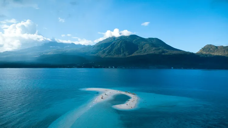
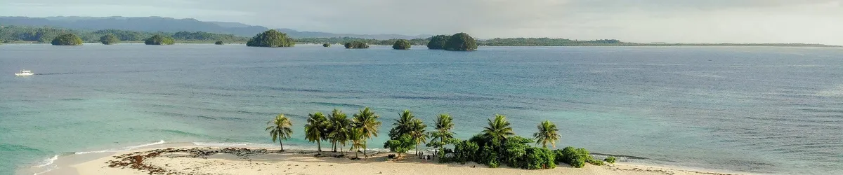
Dinagat’s coastline is the main reason to go. Much of it is limestone and ultramafic rock (iron- and magnesium-rich rock that weathers into red soil), cut by coves and dotted with small islands.
Sites that come up repeatedly in provincial and travel coverage:
- Lake Bababu (Basilisa) – a deep, green, almost round lake in the forest, connected to the sea at Babas Cove through a submerged cave. Some accounts put the underwater passage at around 650 meters and call it the longest known submerged cave system in the country; we could not find an official survey to confirm that.
- Blue lagoon on Pangabangan Island (also called Isla Aga) – a sheltered, heart-shaped lagoon. Sources place it in Loreto or Cagdianao, so confirm with your boatman.
- Bitaug (Bita-og) Beach – a white-sand beach backed by rock formations, known for snorkeling over reasonably intact coral. Its location is also given inconsistently: some sources place it in Loreto, others on Unib Island.
- Quano Blue Lagoon and Quano Cave (Libjo)
- Hagakhak rock formations – layered, wave-carved rock walls best seen from a boat
- Campintac black-sand beach (Loreto), Talisay Beach (Tubajon), and Sundoyo Beach (Libjo)
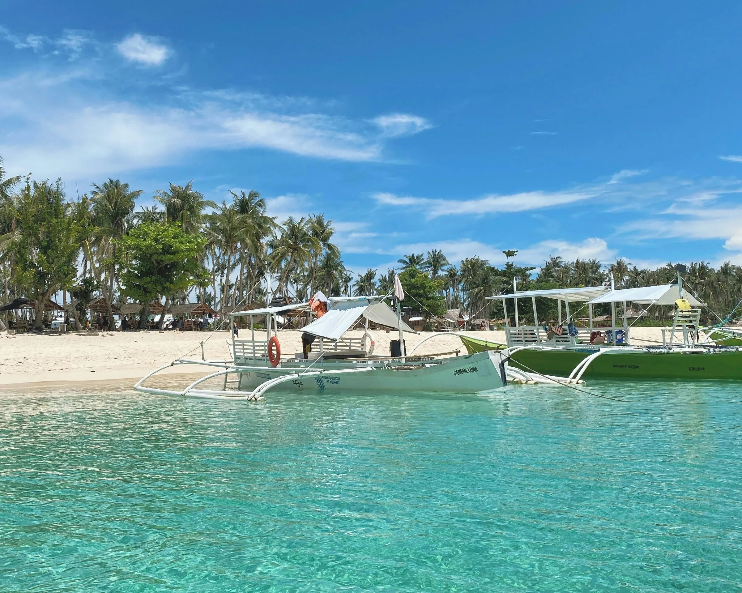
Most of these are reached by hired bangka (outrigger boat) and sometimes a hike or a habal-habal—a motorcycle taxi, often carrying more passengers than you would think possible. There are few signs, fewer facilities, and no ticket booths. Hire a local boatman through your accommodation or the municipal tourism office, agree on the route and price before you leave, and bring your own water and food.
Wildlife Found Nowhere Else
Dinagat is a Key Biodiversity Area, and its forests—growing on unusual mineral-rich soils—are home to species found only here, including:
- The Dinagat bushy-tailed cloud rat, critically endangered and rediscovered in 2012
- The Dinagat gymnure, a small insect-eating mammal
- A large, dark form of the Philippine tarsier
- Endemic plants on peaks such as Mount Redondo, which rises to about 1,020 meters
Mining vs. Conservation
This is the tension that runs through Dinagat today.
In 1939, Commonwealth-era Proclamation No. 391 declared the islands north of Mindanao in old Surigao province—including Dinagat—a mineral land reservation. Dinagat sits on deposits of nickel and chromite, and large-scale mining has gone on for more than eight decades. Later proclamations carved out some areas for agriculture and settlement, but much of the province remains within the reservation.
Where things stand:
- Mining is a major part of the provincial economy, alongside farming and fishing. Reports in 2025 counted ten or eleven active nickel operations, covering more than 24,000 hectares.
- In November 2025, the group Climate Rights International published a report on nickel mining in Dinagat and Surigao del Sur, based on interviews with residents and workers, alleging damage to water sources, farmland, and fishing grounds, as well as rights abuses. Its findings are allegations, not court rulings.
- Local stakeholders have long lobbied to exclude watersheds and forests from the reservation and protect them. The province’s congressional representative has backed a program with the Department of Environment and Natural Resources (DENR) to identify watersheds and eventually place them beyond the reach of mining.
For visitors, the visible effect can be red-stained hillsides and coastal water near some mine sites, and ore barges in the channels. For residents, it is a real trade-off between jobs and the forests and reefs that also support livelihoods. Expect strong opinions on both sides, and be careful about lecturing either.
History at the Mouth of Leyte Gulf
Dinagat’s position at the entrance to Leyte Gulf has put it in the middle of history:
- On October 17, 1944, elements of the US Army’s 6th Ranger Battalion landed on Dinagat and nearby Suluan Island to secure the approaches to Leyte Gulf—among the first American landings of the Philippine liberation campaign.
- A week later, the Battle of Surigao Strait, part of the larger Battle of Leyte Gulf, was fought in the waters between Dinagat and Leyte. The Japanese battleship Yamashiro was sunk in that engagement; local accounts place the wreck near Hibusong Island in Loreto.
Festivals and Culture
The main provincial celebration is the Bugkosan sa Isla Festival, built around the province’s founding anniversary in late September and early October. Bugkos means “to bind” or “to bundle together”—a reference to the seven towns as one province.
What to expect:
- Street dancing and stationary dance competitions in San Jose, with contingents from each municipality
- An agri-fishery and tourism trade fair
- Pageants, sports events, and in some years boat racing
- The festival’s mythical couple, Princess Dina and Prince Gat—children of two warring tribes who fell in love—portrayed by a pair from each town
Each municipality also has its own town fiesta (see our post on the Filipino Fiesta). San Jose, for example, celebrates its charter anniversary in mid-November. Dates and programs change from year to year; check with the provincial or municipal tourism office.
Food is island food: fresh fish, crabs, shellfish, root crops, and rice, cooked simply. Do not expect restaurants with menus outside San Jose; do expect to be fed generously if you are invited into a home.
Typhoon Odette: The Year Dinagat Was Flattened
On December 16, 2021, Super Typhoon Odette (international name Rai) made its first landfall on Siargao and its second, about an hour and forty minutes later, near Cagdianao, Dinagat Islands.
The damage was staggering:
- Provincial officials estimated that 90–95% of houses in the province were damaged or destroyed. Counts of totally destroyed houses range from about 14,000 in early reports to more than 27,000 in later provincial figures, depending on date and definition.
- Officials reported 14 deaths in the province.
- Power, communications, and water were cut for weeks. Relief workers described the province as “leveled to the ground.”
Much has been rebuilt since, often with stronger materials, but the storm is still the reference point for everything—when someone says “before Odette” or “after Odette,” they mean it. Dinagat is also listed among the provinces most vulnerable to climate change in the country.
For Expats and Visitors
Getting There
There is no commercial airport on Dinagat. The usual route is:
- Fly to Surigao City (or to Butuan, then travel by road to Surigao, which takes a couple of hours).
- Take a boat from Surigao City to San Jose. Fastcraft and pump boats take roughly 45 minutes to 1.5 hours; roll-on/roll-off ferries take longer. Several operators run daily trips, mostly in the morning and early afternoon.
- A sea route connecting Siargao and Dinagat directly was announced in 2024; check whether it is currently operating.
Schedules and fares change and boats are suspended in bad weather. Confirm locally, and do not plan a tight onward connection on the same day.
Weather and Typhoon Exposure
Dinagat faces the Pacific side of the archipelago and gets a lot of rain, particularly during the northeast monsoon (amihan) from roughly November to March, when seas on the eastern side can be rough. Typhoons can arrive late in the year, as Odette proved. Calmer seas are generally more likely from April to June. If you are living here, have a storm plan, a stock of water and food, and a way to charge your phone without grid power. (See our post on rural Philippine infrastructure.)
Costs
Day-to-day costs are low by Philippine standards, but anything that comes by boat costs more, and choices are limited. Accommodation is mostly small guesthouses and pension houses in San Jose and a few beach resorts. Chartering a bangka for a day of island-hopping is the biggest single expense for most visitors.
Connectivity
Mobile coverage is reasonable in San Jose and other town centers and patchy elsewhere, especially on the eastern coast and smaller islands. Remote workers should not count on it without testing first.
Healthcare
Dinagat’s health facilities handle primary and basic hospital care. A Super Health Center was opened in San Jose in 2024, and a bill to establish a Level 2 hospital in the province has been considered in Congress. For anything serious, patients are transferred across the strait to Surigao City, where the Caraga Regional Hospital and private hospitals are located. That means a boat crossing—and in bad weather, a delay. Anyone with a serious medical condition should think carefully before settling here. (See our post on the state of Philippine healthcare.)
Safety and Travel Advisories
- The US State Department’s Level 3 “Reconsider Travel” advisory for Mindanao specifically excludes the Dinagat Islands, as well as Siargao.
- The UK (FCDO) likewise exempts Dinagat Island from its advice against all but essential travel to most of Mindanao. Australia’s advice also excludes it.
- However, the gateway—Surigao City and mainland Surigao del Norte—is on mainland Mindanao and is not named in the UK’s exemptions. Check your government’s current advice and your travel insurance terms for the transit leg.
On the island itself, natural hazards (storms, rough seas, landslides on steep roads) are the main risks. Use life jackets on boats, and do not go out when the coast guard has suspended sea travel.
Etiquette
- Respect the PBMA shrine and its members. Many local families belong to the movement. Dress modestly and ask before taking photos.
- Stay neutral on mining. Your boatman’s brother may work at a mine; his neighbor may be fighting one.
- Ask before you swim or land on private or community-managed islets and lagoons; some may charge small environmental fees.
- Carry out your trash. Remote islets have no collection.
- Learn some Cebuano. “Salamat” (thank you) and “maayong buntag” (good morning) are a good start.
Summary
Dinagat Islands is:
- A young province with an unusual birth—created, struck down, and restored by the Supreme Court
- Shaped by the PBMA, a religious movement that drew settlers to the island and still defines much of its public life
- Rich in lagoons, limestone islets, and species that live nowhere else
- Caught between a mineral reservation declared in 1939 and a growing push to protect its forests and watersheds
- A place that was almost completely flattened in 2021, and rebuilt
It is not for travelers who need comfort or certainty. It is for people who want to see a part of the Philippines that has not been packaged yet—and who are willing to show it some respect.
Thinking of Moving to the Philippines? Get Reliable Guidance
Online communities are helpful for general questions. For anything important, you still need accurate, professional, and updated information. E636 Expat Services helps foreigners with:
- Residency and long term visas
- Bank account opening
- Health insurance guidance
- Real estate assistance
- Business setup
- Retirement planning
- A smooth and secure transition into life in the Philippines
If you want to move with confidence instead of relying on random comments online, we can guide you every step of the way.
Book a consultation with E636 and start your journey the right way.
Image credits (via Unsplash, free under the Unsplash License):
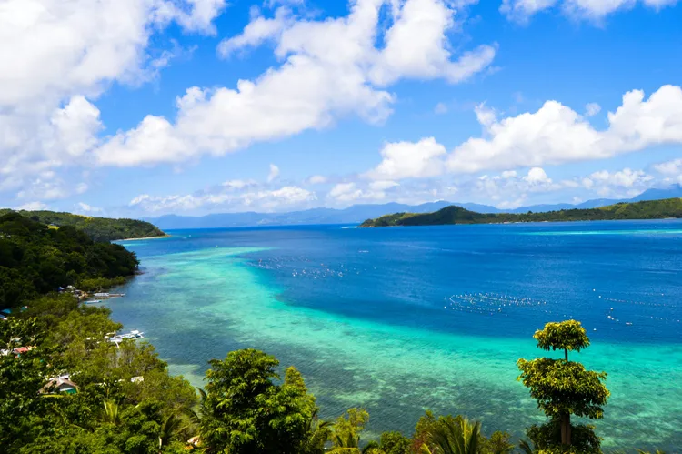
- Top image (Britania Islands, Surigao del Sur—shown as a representative Caraga island seascape; Unsplash has no photos of Dinagat): “a small island with trees” by Cris Tagupa
- Bangka photo (Daku Island, Siargao): “a couple of boats that are sitting in the water” by Aimi Mayne